
About Us
History
The name Jocassee means “Place of the Lost One.” The Jocassee Gorges area was once home to part of the Cherokee Nation. Today, it lies 300 feet (91 m) beneath the lake’s surface, near the Toxaway River. Nearby Keowee Town was a major hub connecting local Cherokee towns and villages. Then, European settlers (mostly of Scottish and Irish descent) arrived from Virginia, Pennsylvania, and Charleston. Land grants from these settlers in the Jocassee area date back as far as 1791.
Every year, early 18th-century traders delivered as many as 200,000 deer skins to Charleston, South Carolina. As a result, local Indians were well-stocked with European firearms, tools, ammunition, and clothing. However, in 1759, mounting discord between Cherokees and Europeans led to war. In 1785, General Andrew Pickens hosted a gathering of Indian chiefs, which led to a treaty giving the entire Jocassee Gorges area to the United States, with the exception of northern Oconee County. It wasn’t until 1815 that the Oconee Mountains were ceded.
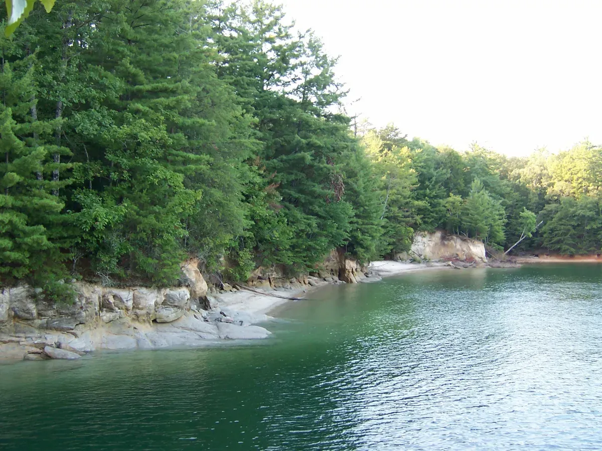
Today, Lake Jocassee is one of the most ecologically pristine and pure lakes east of the continental divide, offering grandeur and beauty beyond description. You can spend days exploring the varied waterfalls and inlets of northern South Carolina. You can even travel into North Carolina to revel in the natural beauty found nowhere else.
About Lake Keowee
Before European settlement, the Cherokee nation lived in a settlement called Keowee Town along what they called the Keowee River. It was the capital of the Eastern or Lower Cherokees. In 1753, white settlers built Fort Prince George across the river from Keowee Town. The Cherokee people were historical allies of the British Crown. In 1776, they were left on their own and defeated after the British loss at Sullivan’s Island. After being decimated by the Continental Army and the South Carolina Militia (under the command of Colonel Andrew Williamson), the Georgia and Carolina Highlands Cherokee petitioned for peace.
On May 20, 1777, the Treaty of Dewitt’s Corner was signed, stipulating the new border to be the crest of the Oconee Mountains. The Cherokee people ceded nearly all the land in the modern South Carolina counties of Oconee, Pickens, Greenville, and Anderson. Other treaties, including The Hopewell Treaty of 1785, reaffirmed these boundaries and clarified access for the bordering Cherokee to continue using the hunting grounds along the mountainous slopes of the border, even though these areas were technically the land of white settlers.
In the treaty of Washington of 1816, the Cherokee sold these hunting grounds to the United States for $5,000 and relocated to points west in Georgia. The land that eventually became the far northern border of modern Lake Keowee was never contested again. However, The Indian Removal Act of 1830 forced the Cherokee to leave the region, and an estimated 4,000 of 16,000 Cherokee died from exposure, disease, and starvation on what became known as the Trail of Tears.
Ullam qui culpa officiis quo accusamus et numquam. Non dolor exercitationem expedita et rerum. In corporis delectus et magnam rerum. Et maxime natus sed aut temporibus dolor qui.
Ullam qui culpa officiis quo accusamus et numquam. Non dolor exercitationem expedita et rerum. In corporis delectus et magnam rerum. Et maxime natus sed aut temporibus dolor qui.
Starting in 1963, The South Carolina Land & Timber Firm began to purchase land along the Keowee River for the distinct purpose of “acquiring, holding, and developing land and timber properties.” One source suggested that the then-called Duke Power Company bought 83,400 acres from the Singer Corporation, as well as private landowners.
In the mid-1960s, Duke executives consulted with federal and state authorities, searching for a way to supply the growing southeastern region with improved electricity. They explored various ways to create artificial lakes, purchase inexpensive land, and use the power from stored energy to both cool the reactors from nuclear power plants and generate hydroelectric power from the cascading waters. The project was modeled partially on the success of the Tennessee Valley Authority. On January 2, 1965, Duke Energy president W. B. McGuire held a press conference at Clemson University to announce the Keowee-Toxaway Project—a plan to build a large complex to generate power, costing an estimated $700 million. Two days later, Duke filed for a license to begin the first phase of construction.
Because the project required the flooding of a large area, Duke Energy worked with University of South Carolina archaeologists to excavate many local sites, including the fort. One participant built a model of an excavation site that can still be viewed at the Keowee-Toxaway State Park.
Another excavation site was the Cherokee site of Keowee Town, where thousands of artifacts were discovered, including pottery beads, animal remains, and human remains.
Next, a massive demolition and building project began. Huge swaths of forest land were cleared by selling the lumber from downed trees. Additionally, selected wooded areas were set afire to facilitate bulldozing operations. Some areas were dug deeper to increase the future depth of the lake and provide sufficient volume for cooling purposes. Then, Duke hired the Jeff Hunt Machinery Company to clear basins for the Lake Jocassee and Lake Keowee sites. At the time, it was one of the largest orders for land clearing in North and South Carolina. In 1967, Duke hired the firms of Blythe Brothers and Clement Brothers to begin earth-moving operations. In the first phase, dams were built on the Little and Keowee Rivers to create Lake Keowee. Additionally, a dam was built to block the Jocassee River, creating Lake Jocassee. One estimate indicated that this phase cost $83 million. At the groundbreaking ceremony in April 1967, a red, blue, and white dynamite charge was set off by then-South Carolina governor Robert McNair.
The longest of the three constructed dams was the Lake Keowee Dam, measuring 3,500 feet (1,100 m) in length, 800 feet (240 m) in width at its base, and 20 feet (6.1 m) in width at the top. It is 20 feet (6.1 m) higher than the Little River Dam and 215 feet (66 m) lower than the Jocassee Dam. Both lakes were fed by the Whitewater, Toxaway, and Thompson Rivers. Additionally, Lake Keowee is fed by the Lake Jocassee hydro station. The initial water transfer began in December 1973, and commercial operations commenced on December 19, 1973.
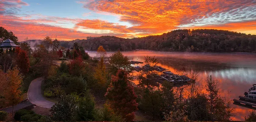
Recreation
Public Parks – Keowee-Toxaway State Park is located at the lake’s north end. Additionally, there are many more parks surrounding the lake for your enjoyment.
Campgrounds – The 1,000-acre (4.0 km2) Keowee-Toxaway State Park resulted from a partnership between the state of South Carolina and Duke Energy. It consists of three distinct parks: 155-acre (0.63 km2) Mile Creek Park, 40-acre (0.16 km2) South Cove Park, an 44-acre (0.18 km2) High Falls Park. An additional 373 acres (1.51 km2), known as Eastotoe Park, is managed as a natural wildlife preserve by the South Carolina Department of Natural Resources. Duke Energy also created six additional boat access slips. During daytime hours, selected islands are accessible; however, Duke Energy typically prohibits overnight camping, littering, fires, permanent structures, and vegetation removal.
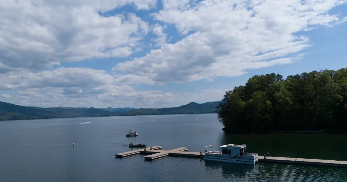
Boating – Lake Keowee offers a marina for local residents. Additionally, county administrators funded a floating bathroom to provide outdoor facilities for all boaters. This $135,000 effort was made to “preserve the shoreline and protect water quality, citing complaints about diapers, toilet paper, and other items found around the lake.”
Water Sports – Our lake is the ideal venue for a wide range of your favorite water sports, including waterskiing and paddleboarding.
Fishing – The lake boasts three types of bass – largemouth, smallmouth, and spotted – as well as bluegill, crappie, yellow perch, brown trout, rainbow trout, and catfish.
Swimming – Lake Keowee is suitable for swimming. However, note that there have been several drowning accidents. These were the result of non-swimmers being knocked into a deep section or regular swimmers encountering a strong and hidden underwater current.
Physical Features
Area – Lake Keowee covers approximately 18,500 acres (75 km2), with over 300 miles of shoreline. The full water elevation of Lake Keowee is approximately 800 feet. It is 23-miles-long and 3-miles-wide at the widest point, with an average depth of 54 feet.
Drinking Water – The lake provides clean drinking water to Seneca, Greenville, and the surrounding areas.
Cleanliness – This lake has a longstanding reputation for excellent water quality. Keowee Key, one of the 110 communities on the lake, discharges related wastewater directly into the lake in adherence to strict standards monitored by the South Carolina Department of Health and Environmental Control. The remaining communities employ other methods to dispose of their wastewater, such as buffers, specialized filtration systems and pumping it to a special site to be drip-dispersed.